
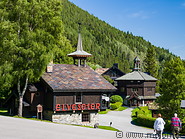
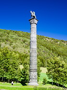
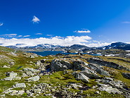
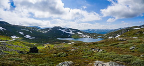
Jotunheimen national park
The Sognefjellet road connects Lom in the Otta valley  with Skjolden at the northeastern end of the Lustrafjorden, a side arm of the Sognefjord, the largest and deepest fjord in Norway.
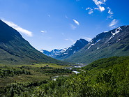
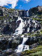
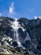
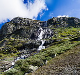
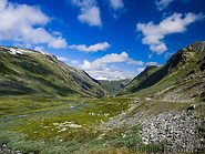
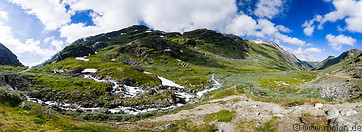
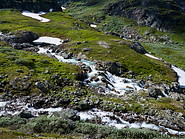
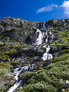
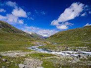
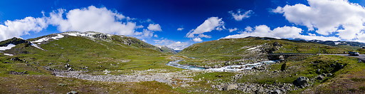
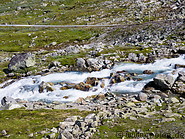
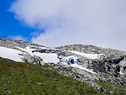
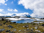
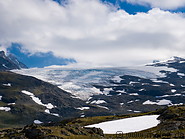
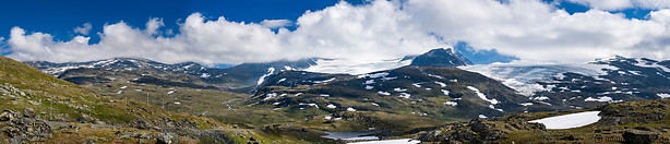
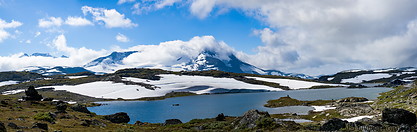
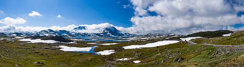
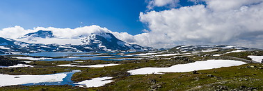
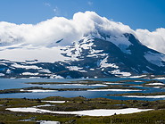
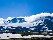
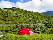
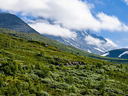
The road crosses the Jotunheimen National Park, one of the most interesting national parks in Norway. The park covers an area of 1151 km² and has over 275 peaks with an altitude higher than 2000m. The national park includes 60 glaciers and the two highest peaks in northern Europe: Galdhøpiggen at 2469m and Glittertind at 2465m. There are hundreds of hiking routes.
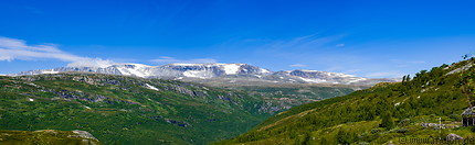
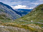
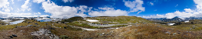
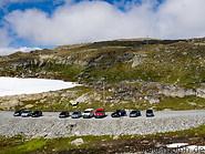
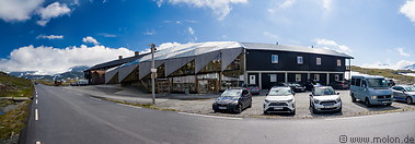
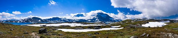
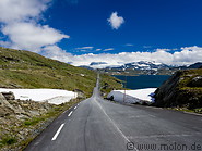
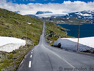
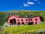
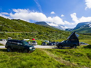
Starting from Lom the road initially follows the valley of the Bøver river. It slowsly climbs to a high plateau reaching a highest height of 1434m at the Sognefjellshytta mountain refuge. The road is only open between May and September and crosses deep snow fields in some sections. On the western side, after the Turtagrø hotel, the road descends very steeply down to sea level. While driving down car brakes can easily overheat, making it necessary to either shift down the gear or take breaks.
with Skjolden at the northeastern end of the Lustrafjorden, a side arm of the Sognefjord, the largest and deepest fjord in Norway.
The road crosses the Jotunheimen National Park, one of the most interesting national parks in Norway. The park covers an area of 1151 km² and has over 275 peaks with an altitude higher than 2000m. The national park includes 60 glaciers and the two highest peaks in northern Europe: Galdhøpiggen at 2469m and Glittertind at 2465m. There are hundreds of hiking routes.
Starting from Lom the road initially follows the valley of the Bøver river. It slowsly climbs to a high plateau reaching a highest height of 1434m at the Sognefjellshytta mountain refuge. The road is only open between May and September and crosses deep snow fields in some sections. On the western side, after the Turtagrø hotel, the road descends very steeply down to sea level. While driving down car brakes can easily overheat, making it necessary to either shift down the gear or take breaks.
|
|

|
|

|
|
|
|
|
|
|
|
|
|
|
|
|
|

|
|
|
|
|
|
|
|

|
|
|
|
|
|
|
|
|
|
|

|
|
|
|
|
|
|
|
Page viewed 1016 times since 15.03.21
©Copyright Alfred Molon