
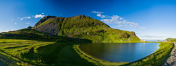
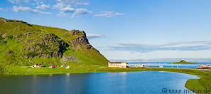
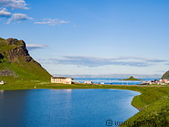
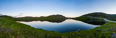
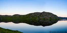
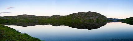
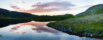
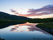
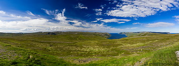
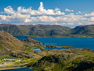
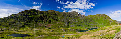
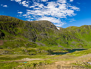
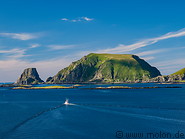
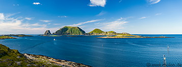
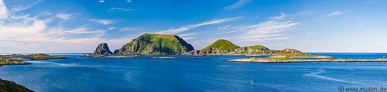
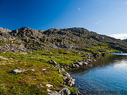
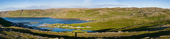
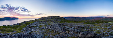
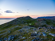
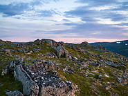
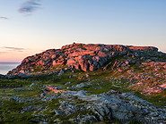
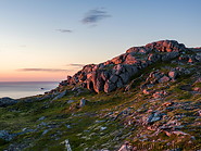
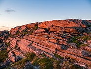
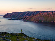
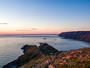
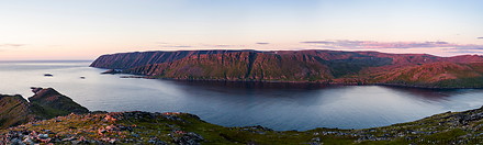
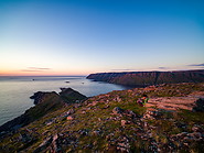
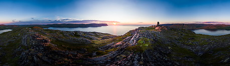
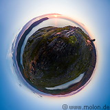
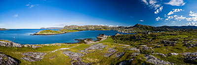
Mageroya island
The North Cape tourist area is located along the northern coast of the Magerøya island. The island has an area of 436 km² and its highest point, Gråkallfjellet, is 417m above sea level. There are almost no trees on Magerøya, with the entire island consisting of a barren, tundra-covered landscape with several bays. The main population centre is Honningsvåg, which lies in the south of the island. All cities and villages are essentially fishermen villages.
|
|
|
|
|
|
|
|
|
|
|
|
|
|
|
|
|
|
|
|
|
|
|
|
|
|
|
|
|
|
|
|
Page viewed 1000 times since 09.10.20
©Copyright Alfred Molon