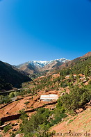
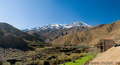
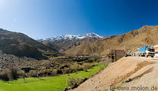
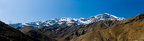
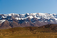
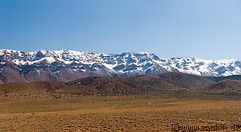
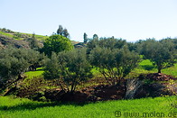
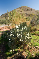
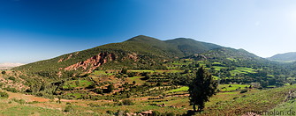
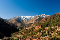
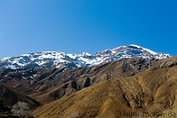
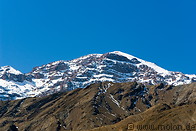
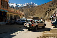
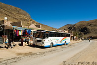
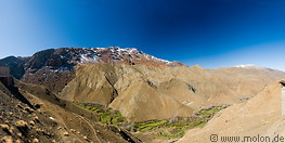
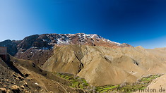
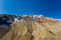
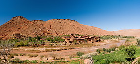
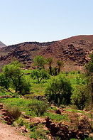
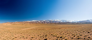
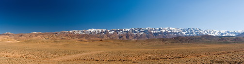
Southwest of Marrakech lies the Atlas mountain range, which extends 2,400 km through Morocco, Algeria, and Tunisia and separates the Mediterranean and Atlantic part of Morrocco from the desertic southwest. The highest peak of the Atlas is the Jebel Toubkal (4167 m). The road connecting Marrakech with Ouarzatate crosses the Atlas mountain range and its highest point is the Tichka pass at 2260m.

01 Fields and Olive trees
02 Cactus and mountain
03 Hills
04 View with snow capped peaks
05 View with snow capped Jebel Toubkal
06 View with snow capped Jebel Toubkal
07 View with snow capped Jebel Toubkal
08 View with snow capped Jebel Toubkal
09 View with snow capped Jebel Toubkal
10 View with snow capped Jebel Toubkal
11 Butchery and meat carcasses
12 4WD vehicles and hill station
13 Bus stopping at hill station
14 Valley with irrigated terraced fields and snow capped peaks
15 Valley with irrigated terraced fields and snow capped peaks
16 Mountains and snow capped peaks
17 Valley with river village and red hills
18 Red hills and vegetation
19 Snow capped peaks of the eastern High Atlas
20 Snow capped peaks of the eastern High Atlas
21 Snow capped peaks of the eastern High Atlas
22 Snow capped peaks of the eastern High Atlas
Page viewed 35511 times since 25.03.2007
©Copyright Alfred Molon